Tuesday, 31 March 2015

Law and Order

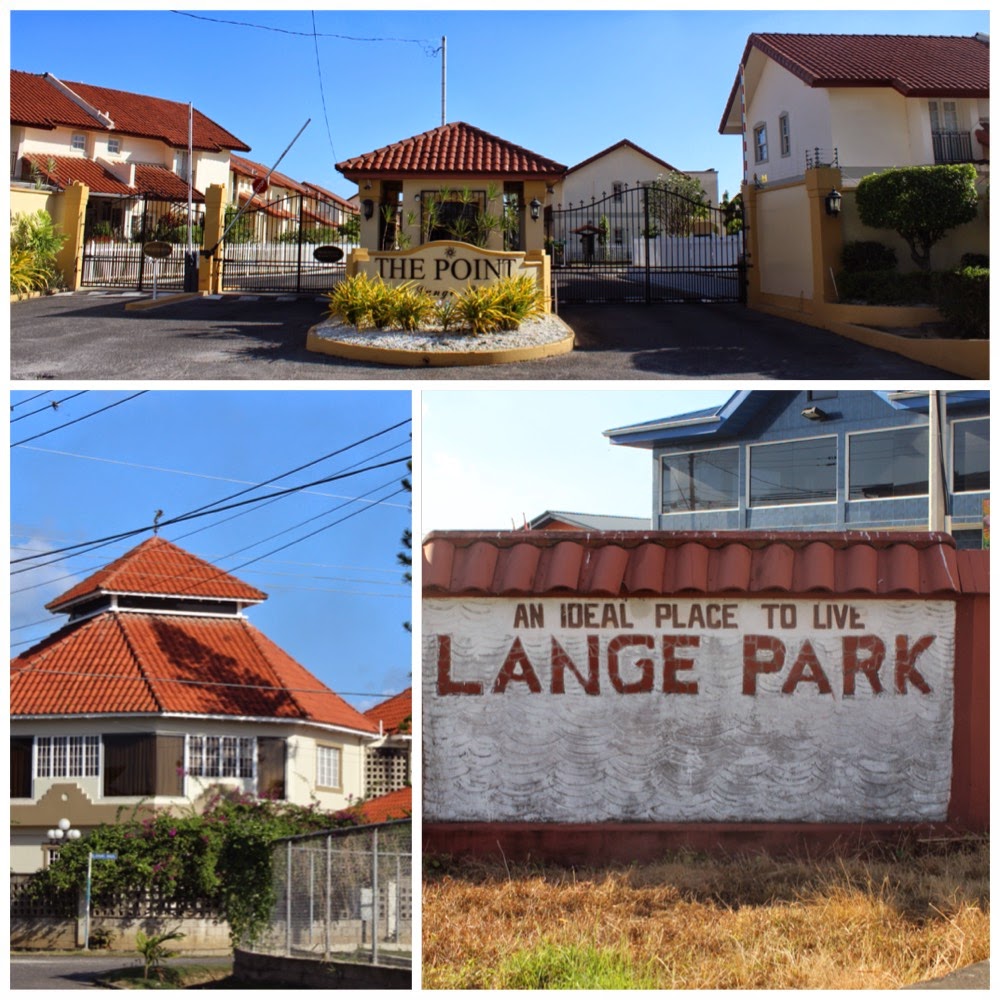
One of the many services provided in Chaguanas is that of governmental institutions. These include the Chaguanas (middle right of Photograph 1) and Municipal Police Stations, the Magistrate Court (middle left of Photograph 1), the Chaguanas Borough Council (bottom right of Photograph 1), the Chaguanas Borough Corporation New Administrative Building (top of Photograph 1), the Ministry of Transport- Transport Division (Licensing Department) [bottom left of Photograph 1] and the offices of the Ministry of Tertiary Education and Food Production (which is currently under construction). The majority of these buildings are in close proximity to one another, for example the Chaguanas Police Station and the Magistrate Court being directly opposite to each other. However, efforts of decentralization of these services is seen, where the location of the Ministry of Tertiary Education and Food Production is no where close to the others. The locations of the existing buildings are so placed, in an effort to maintain some levels of efficiency in carrying out their services. The Chaguanas Borough Corporation New Administrative Building, is a relatively recent development in the urban area, and is aimed at housing several ministry offices, for the convenience of the public.


PHOTOGRAPH 1, taken by Kristen Goseine with Canon EOS REBEL T3i/EOS 600D. (Date taken: 30/03/15)
In urban areas such as Chaguanas, there are several factors which trigger urban change, which include the economy, society, environmental change, demography, culture and politics. Currently in Trinidad, there are local elections taking palce. As a result of this, the current government of the republic, in the months leading up to the election day, tend to encourage development of communities and urban areas, in an effort to gain votes. Therefore, they enhance urban change, through the factor of politics. This is particularly seen with the construction of the ministry office (Refer to Photograph 2) on the periphery of the CBD. There is also renovations being done in the older buildings, for example the Court, as well as overall relocation of the Borough Council to the recently built Borough Cooperation Administrative Building.

PHOTOGRAPH 2, taken by Kristen Goseine with Canon EOS REBEL T3i/EOS 600D. (Date taken: 30/03/15)
References
Braxton-Benjamin, N. 2014. 'Refurbishment To Begin At Chaguanas Court'. Trinidad Express Newspapers. http://www.trinidadexpress.com/news/Refurbishment-to-begin-at-Chaguanas-court-257883991.html.
Google.com,. 2015. 'Google Maps'. Accessed March 30. https://www.google.com/maps/place/Chaguanas,+Trinidad+and+Tobago/@10.5408187,-61.410289,18z/data=!4m2!3m1!1s0x8c35f9683ede6bcd:0x112ca977469a629b.
Pacione, Michael. 2005. Urban Geography. London: Routledge.

The Trinidad Guardian - Business Guardian,. 2014. 'Expanding Chaguanas - Ministries, Mall And An Industrial Park Earmarked'. http://www.guardian.co.tt/business-guardian/2014-04-10/expanding-chaguanas-ministries-mall-and-industrial-park-earmarked.

Saturday, 21 March 2015

The Industrial Sector

“By means of industry and perseverance we will rise higher and higher.” - Robert Schumann

Trinidad and Tobago is one of the wealthiest nations in the Caribbean with the highest gross national income (GNI) at US$14,400. In 2011, the Organisation for Economic Corporation and Development (OECD) removed the country from its developing countries list, therefore, officially labeling it as a developed country.  
The Chaguanas industrial area stems from the CBD and is located along the previously active railway lines, similar to Hoyt’s sectoral model. Much like the suburban areas, development of industries were focussed along the existing railroads. In comparison to Point Lisas, a major industrial sector of Trinidad and Tobago, Chaguanas has a small to moderate level of industrial sector. The basis of Trinidad’s industrial activity is oil and gas, which is centered in the Point Lisas area. However, as the country continues to develop further there are the uprisings of other industrial sectors which can be located in or around major urban areas.
This area is adjacent to the highway which provides a direct link to the rest of the country. Most of the industries located here transport their products to various areas of the country and so having a direct route is an advantage. Industries are situated in close proximity to the highway and this allows for easy accessibility to markets for their products. This, thereby, leads to the reduction of transportation costs to markets which are located within or around Chaguanas. The industries are mostly located on the periphery of the urban area where there is less commercial traffic.

Photograph taken by Kristen Goseine with Canon EOS REBEL T3i/EOS 600D. (Date taken: 24/02/15)

The major industries located in Chaguanas are:
  •          KISS Baking Company Limited
  •          Bhagwansingh’s Hardware and Steel Industries Limited
  •          Industrial Rubber Products Limited
  •          Lange Trinidad Limited
  •          The Trinidad Guardian Newspaper
  •          ANSA McAL Centre
  •          YKK West Indies Limited
  •          Luxsam Industries Limited
  •          Massy Cat
  •          Chief Brand Products
  •          Holiday Snacks Limited


Fun Fact: The establishment of industries along railways can be seen in the DC Comic Batman where Wayne Enterprises were developed simultaneously with the Gotham Railroads during the Industrial Revolution. 

References
Batman Wiki,. 2015. 'Wayne Enterprises'. Accessed March 21. http://batman.wikia.com/wiki/Wayne_Enterprises.
CCTV,. 2013. Trinidad And Tobago: One Of The Most Developed Caribbean Nations.. Video. https://www.youtube.com/watch?v=dnO4oxYIFJs.
Goodreads.com,. 2015. 'Quotes About Industry (93 Quotes)'. Accessed March 21. https://www.goodreads.com/quotes/tag/industry.
Oecd.org,. 2015. 'DAC List Of ODA Recipients - OECD'. http://www.oecd.org/dac/stats/daclist.htm.

Thorpe, G. 2013. 'Top 10 Caribbean Nations Based On Gross National Income - Page 5 Of 5 - Atlanta Blackstar'. Atlanta Blackstar. http://atlantablackstar.com/2013/12/19/top-10-richest-countries-in-caribbean-per-income/5/.

Tuesday, 24 February 2015

Central Suburbia

Chaguanas suburban residential areas, can be classified into areas of low class, middle class and high class. Low-class residential areas include ones such as Enterprise, which can be seen pictured below (Photograph 1), and formerly, Edinburgh 500. According to Hoyt's model of an industrial city, low income areas were built along or near to railroad lines. This model was based in a time where railways were a more popular form of transport, in the early 20th century. This can be noted upon investigation of a map of the Trinidad railway lines from that time period, which infers that these areas were built accordingly. While there are no longer any operational railroads in Trinidad, particularly in Chaguanas, there are still remains areas of low income housing in close proximity to major accessibility routes (i.e. Southern Main Road). However, there has been some features of urban development taking place, for example new housing complexes for residents (also pictured below). 

PHOTOGRAPH 1, taken with Canon EOS REBEL T3i/EOS 600D. (Date taken: 24/02/15)

Middle-class residential areas found in Chaguanas include Orchard Gardens (Photograph 2), Cunupia and Edinburgh Gardens (not the same as Edinburgh 500). These areas would be similar in some ways to the high-class areas, in that it would be attractive to people interested in living in these regions. The standard of living would be more affordable to people who belong to a more moderate income bracket, with the supplemental benefits of easy accessibility to both the CBD and major transportation routes. 

PHOTOGRAPH 2, taken by Kristen Goseine with Canon EOS REBEL T3i/EOS 600D. (Date taken: 24/02/15)

The major high-class residential area in Chaguanas is Lange Park (Photograph 3). This area conforms to the expectations of a high class area as presented by Hoyt, where it is branched directly from the CBD as a small wedge. This may be so, as there is minimal industrial/manufacturing activity taking place in this area. Therefore, factors such as noise and pollution, that would usually influence high classed people into living further away, would not be in play here.


PHOTOGRAPH 3, taken by Kristen Goseine with Canon EOS REBEL T3i/EOS 600D. (Date taken: 24/02/15)
The middle and high class residential areas described here are much like the one described in the episode of the popular '90s television show, Friends, in the episode "The one where Chandler gets caught."  

References:
  • "Models from Burgess and Hoyt." A-level Geography Urban Profiles Revision -. Web. 25 Feb. 2015. <http://www.s-cool.co.uk/a-level/geography/urban-profiles/revise-it/models-from-burgess-and-hoyt>.
  • "Railroad Map of Trinidad." WDL RSS. Web. 25 Feb. 2015. <http://www.wdl.org/en/item/11332/>.
  • "The One Where Chandler Gets Caught." IMDb. IMDb.com. Web. 25 Feb. 2015. <http://www.imdb.com/title/tt0583445/>.
  • "The Structure of Cities - Boundless Open Textbook." Boundless. Web. 25 Feb. 2015. <https://www.boundless.com/sociology/textbooks/boundless-sociology-textbook/population-and-urbanization-17/urbanization-and-the-development-of-cities-123/the-structure-of-cities-694-10482/>.


Thursday, 5 February 2015

Downtown Chaguanas - The Core of Urban Activity


Urban diversity refers to an mélange of culture, language, gender, race, ethnicity, class and wealth in areas with a growing population. (Kihate et al, 2010) Urban areas are constantly evolving and expanding, thus creating a wide network of urban processes. In Trinidad, there are several areas where this is seen, including cities such as Port-of-Spain (capital city) and San Fernando, as well as towns such as Tunapuna and, in the case of this study, Chaguanas.


Photograph taken by Kristen Goseine, with Canon EOS REBEL T3i/EOS 600D. (Date taken: 03/02/15)

Chaguanas, home of Nobel Prize-winner and British author Sir V. S. Naipaul, rapidly became an urban area during the 20th century when there was an influx of a middle-class community. Many relocated to Chaguanas due to its accessibility to affordable homes and its convenient location. Over time the area has become increasingly populated by both Afro-Trinidadians and Indo-Trinidadians, which resulted in the formation of residential housing and middle-class to upper middle-class communities along the outskirts of the Central Business District (CBD).
Pictured above is Chaguanas Main Road, which is the nucleus of economic and social activity carried out in the Borough of Chaguanas. The Chaguanas Main Road is, for all intents and purposes, the CBD of the urban area. As seen with all urban models all included factors, for example the zones of varying classes and the industrial areas, are in relation to the CBD. In the case of this town, Hoyt’s model of the industrial city (1939) will be used for analysis, where some of the zones radiate directly from the CBD rather than the simple concentric circles used for representation of said zones, in previous models.

References:
"BBC - GCSE Bitesize: The Burgess and Hoyt Model." BBC News. BBC. Web. 6 Feb. 2015. <http://www.bbc.co.uk/schools/gcsebitesize/geography/urban_environments/urban_models_medcs_rev1.shtml>.
Hall, Peter. "Modelling the Post-industrial City." Futures 29.4-5 (1997): 311-22. Print.

Kihato, Caroline, Blair Ruble, and Mejgan Massoumi. Urban Diversity: Space, Culture, and Inclusive Pluralism in Cities Worldwide. Washington, D.C.: Woodrow Wilson Center ;, 2010. Print.